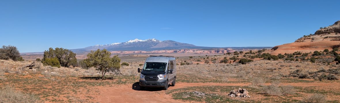
Hello friends of Sin Rumbo. I sometimes get asked by youtube followers if I publish GPS coordinates of the places I visit or wild camps I stay at. I do not mind sharing info about those places but, for me, adventure means finding your own routes and campsites. So, no, I usually do not publish GPS coordinates. Yet I am fortunate to have traveled quite a bit around Argentina, and for those who plan to come visit this beautiful region I can contribute a few ideas. I am starting a new series of blog posts called My Routes. In this series of posts I will share some routes that are of particular interest to overlanders.
I will start the series by exploring the northwest of Argentina, particularly the provinces of Catamarca and Salta. Why these two provinces? Simply because they are often overlooked in favor of the Atacama desert of Chile or the Bolivian altiplano. Unknown to many, by far the largest part of the Atacama is in fact in Argentina. So, if you’ve been dreaming of high altitude desolate tracks, brightly colored lagunas and flamingos, remote volcanos, Argentina has it all.
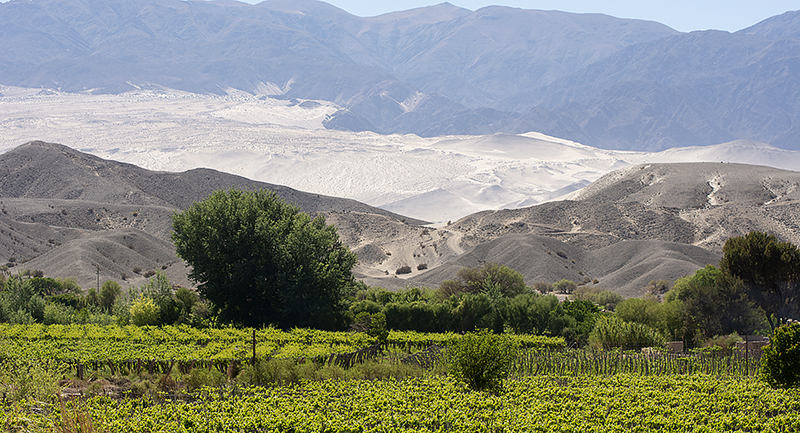
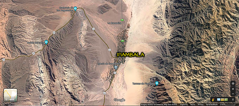
Without further delay, let´s head to Fiambala, province of Catamarca. Fiambala is a small town that can be your basecamp for a few days. It has a gas station, a couple of campgrounds, a few hostels and hotels, food stores, etc. The town itself is nothing to write home about, but it is the doorway to a few worthwhile routes. Here are my saved routes in GaiaGPS.
- Straight north is the small village of Taton. This day drive will give you a taste of what the region looks like, with sand dunes, and impressive vistas. The village is cute and worth driving/walking through. There is a nice campground, but check first if it is open before you show up. The road is unpaved most of the way but generally in good condition.
- West of town Route 60 is paved all the way to the Chilean border. Boring you say? Not this road. It is called the road of the six-thousands, because during your drive you will get to see several summits that are higher than 6,000 m of altitude. That’s almost 20,000 feet for non-metric readers. The area is in fact the second highest in the world after the Himalayas. This beautifully paved road will take you up to more than 15,000 feet of altitude. This will already test you and your rig for what is coming next. So, drive easy, take your time, stop often, drink lots of water, and breathe.
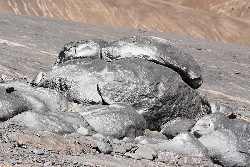
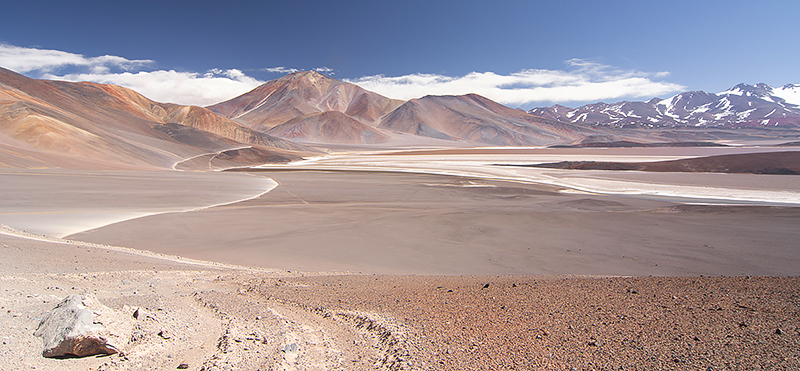
- Balcón Del Pissis. The Pissis is a volcano west of Fiambala, and is one of the summits of over 6,000 m. To get to the balcón, or viewpoint, you drive again ruta 60 for about 90 km, then head west on a dirt track. A 4WD vehicle in good condition is required. The road will take you 100 km from the pavement, so 200 km from Fiambala. That is a total of 400 km return, half of which is slow at high altitude. IMPORTANT NOTE: The remoteness, altitude, and unpredictable weather are not to be underestimated. Go prepared, with additional fuel, food for a few days, drinking water, and warm clothes. Warm sleeping bags should be part of you kit even if you do not plan to stay overnight. There can be traffic to the balcón del Pissis during the day, mostly local expedition guides with their own vehicles. They generally turn around and drive back to civilization the same day. The track continues beyond the viewpoint and branches off in various directions. The views are absolutely breathtaking but be warned that you will be alone and should be self-reliant in case of a break down or an emergency. High altitude sickness is a serious risk and the only reliable remedy is to return to lower altitude, which is difficult when you are so far away from the main road. Another important note is that you will be in a protected area. Unfortunately there is no funding for park rangers to patrol the area, so you are responsible for driving exclusively on designated tracks, and for leaving the area clean of garbage. These areas are extremely sensitive. The harshness of the climate and geography make it very difficult for anything to survive there, plants and animals. Yet a few species do rely on these areas to live and reproduce. Please respect them.
- In a future article we will explore areas north of Fiambala, like the Campo De Piedra Pómez – the Pumice Field. There is a connecting track that I did not drive but might interest you: Ruta Provincial 34. It used to be challenging but I was told that it is now easier to drive. It saves driving around via the highway and adds an interesting challenge to your adventure. If you decide to go make sure you are prepared for challenging navigation and patches of deep sand. The tracks look good on the computer screen but on the ground the navigation in these remote areas becomes challenging. Not all tracks appear on the GPS, and the ones that do might not always be the best ones to follow. Tracks occasionally branch off in a multitude of tracks and choosing one is a best guess since only one track is marked on the GPS map. You will be left to use your best judgement more than once. I find that Openstreetmap is fairly reliable, much more so than Google Maps. Even then you will not find here in Argentina the level of detailed information you might be accustomed to in Europe or North America.